Having trouble viewing this email? You can view it as a webpage here. |
|
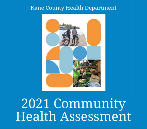
2021 Kane County Community Health Assessment |
|
The Kane County Health Department and partner agencies have completed the 2021 Community Health Assessment |
|
Data revealed significant community health disparities based on race/ethnicity, particularly among the Black and Hispanic communities. The data also showed that older adults face increased health issues, while populations in certain geographic areas experience higher socioeconomic need and potentially poorer health outcomes.
The Health Department and its partners conduct a comprehensive Community Health Assessment every three years. The data collected helps to present a complete picture of the health status of Kane County. A phone survey to more than 1,500 Kane County residents was conducted by a professional research firm. The survey included questions on health care access, health behaviors, mental health, preventative screening, and childhood development. Results of
the assessment will be used to develop a Community Health Improvement Plan (CHIP) that helps agencies make Kane County a healthier place to live, work and play.
KCHD started a collaborative CHA and CHIP process in 2011, joining forces with the County's five hospitals and the INC Board, a mental health funding alliance. In 2014 this group adopted the name "Kane Health Counts" sharing a mutual interest in improving the health of Kane County residents.
The Kane Health Counts Executive Committee focused on the top health needs to come from the CHA and identified the following priorities for the next CHIP cycle:
- Behavioral Health
- Access to Health Services
- Immunizations and Infectious Disease
- Exercise, Nutrition, and Weight
The full report can be found online here. Questions about the Community Health Assessment can be directed to Susan Stack with the Kane County Health Department.
|
|
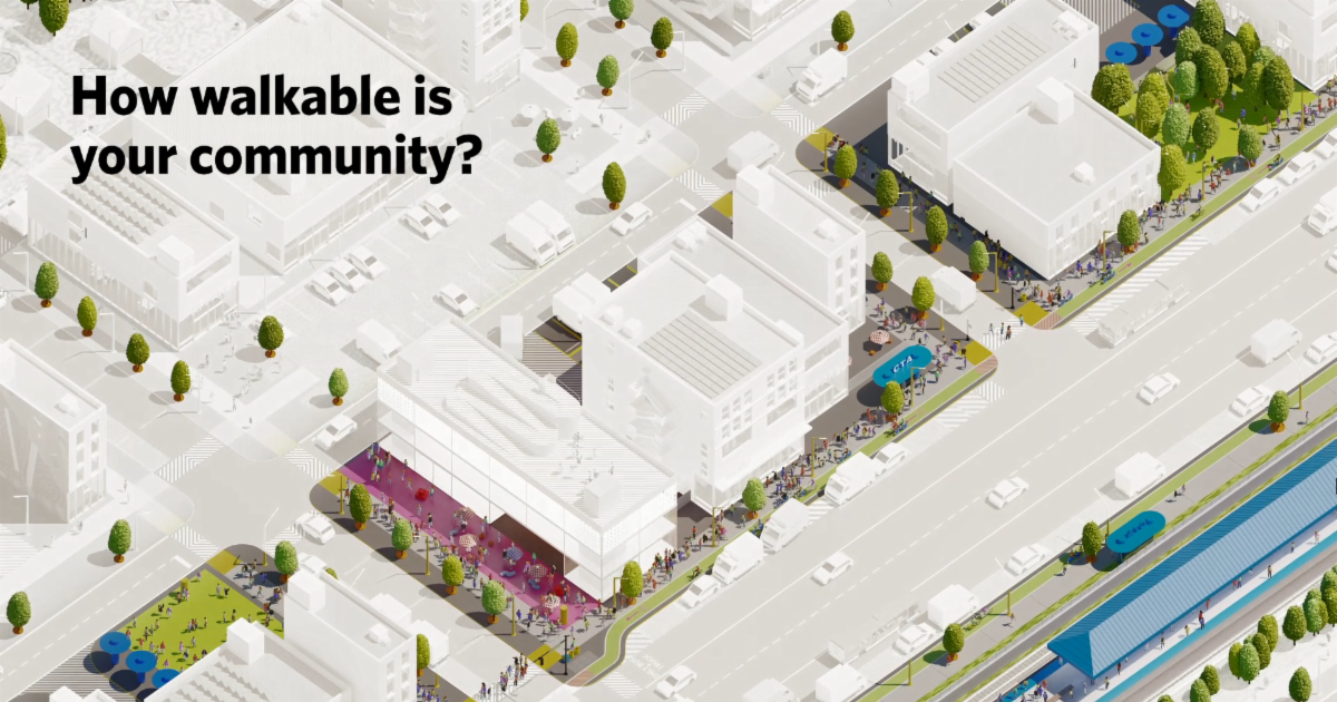
Communities Explore Complete Street Solutions for Safer Travel |
|
Traffic fatalities remain a concern; CMAP to host Complete Streets Panel Discussion |
|
The pandemic has reinforced the dangers behind street designs that encourage excessive vehicle speeding. In northeastern Illinois alone, averaged annual traffic fatalities have grown by almost 17 percent since 2012. To address these dangerous trends, communities throughout the region are turning more roads into complete streets and seeing safer conditions as a result.
When done well, complete streets can support economic activity through higher foot traffic and other community goals, such as equity, sustainability, and affordability.
In McHenry County, local governments collaborated and planned for formal complete streets programs to not only address safety, but also support walking and biking. Algonquin officials, in particular, are using complete streets strategies, like narrowing roads and adding bike paths, to manage vehicle speeds and increase pedestrian traffic through its downtown.
CMAP will be hosting a panel discussion as part of their CMAP Talks series on Wednesday, April 21, at 10:00 AM to explore how complete streets and different design concepts can improve safety. Visit the registration page for additional details and to sign up.
|
|
This webinar explores the future of mobility innovations, featuring the efforts of a planning team in Buffalo, NY |
|
Just as increased access to cars transformed America after World War II, the next generation of mobility innovations will reshape the future of our cities and regions.
Officials from the City of Buffalo, New York and their planning team shared the outcomes of their recent efforts to address the fundamental challenge posed by these rapid changes: how can Buffalo, and similar cities across North America, put mobility innovations to work and unlock a new era of opportunity, access and equity?
This session explored the recommendations developed at a community workshop and adopted by the City of Buffalo, which propose to establish a mobility and equity innovation zone as a building block for the inclusive implementation of these new technologies.
A recording of the webinar is available here courtesy of Smart Growth Online.
|
|
CMAP Inventory of Sidewalk Data |
|
CMAP created the sidewalk inventory to help communities address gaps in their sidewalk networks |
|
Using the publicly available Illinois Roadway Information System highway data and Nearmap aerial imagery, CMAP staff recently analyzed approximately 30,000 miles of roads in Cook, DuPage, Will, Lake, Kane, and McHenry counties to determine the existence of sidewalks on one or both sides of the street and whether there is a barrier between traffic and the sidewalk. The resulting dataset shows that the availability, quality, and safety of sidewalks around the region varies greatly.
The final product, a database now publicly available on the CMAP Data Hub, is a tool that anyone can use to understand their community’s pedestrian infrastructure needs and that residents and leaders can use to prioritize sidewalk improvements in the future. You can view a simple interactive presentation of the inventory here.
How can your community use this data?
1. Identify transit stops without sidewalks nearby
2. Align sidewalks with development patterns
3. Analyze connectivity along with demographic data
4. Help make your community more accessible for everyone
5. Help your community make decisions about safety
The complete inventory of regional sidewalk data is available for download here.
|
|
Kane County Planning Cooperative
Matt Tansley, Planner - (630) 232-3493
View past newsletters here
|
|
Not already subscribed to the newsletter? |
|
|
|
|
|
|